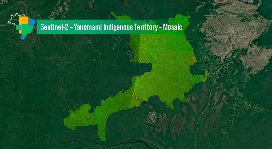
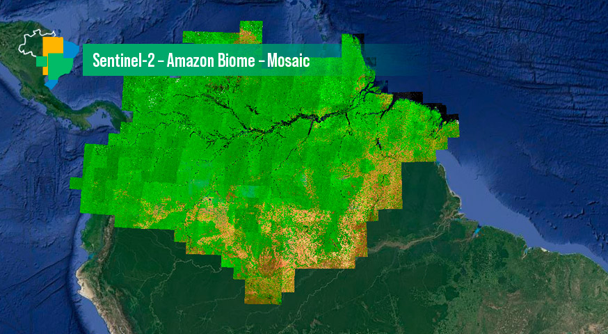
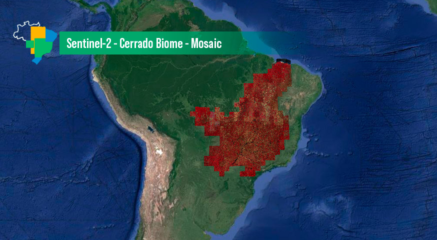
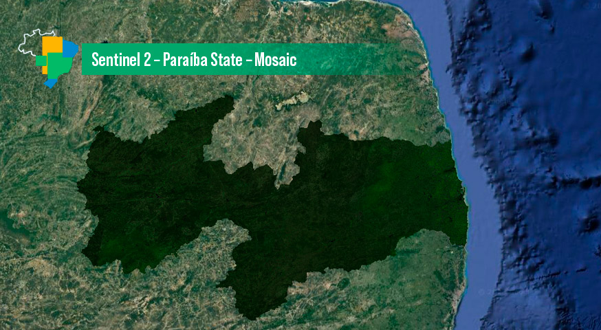
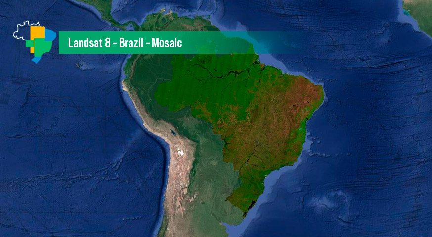
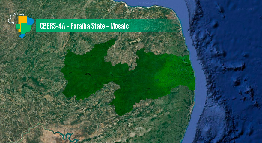
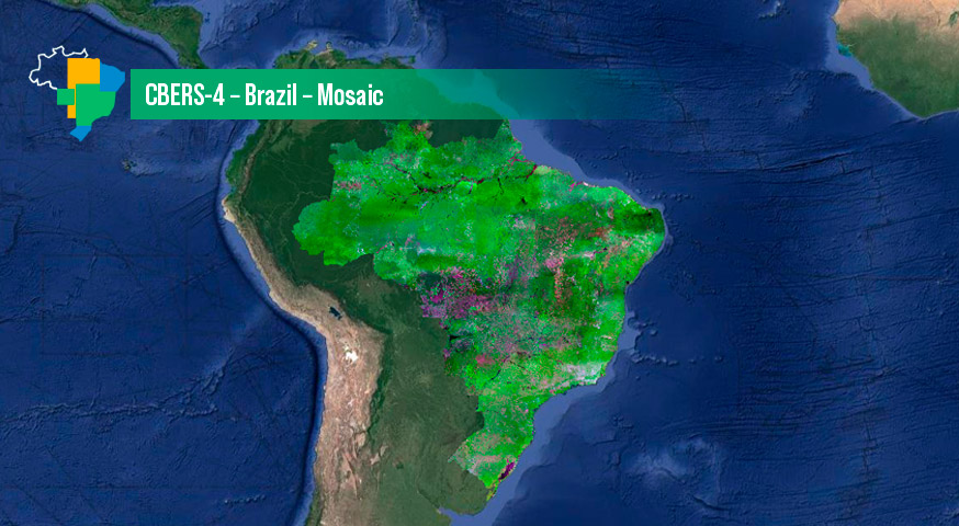
Territorial mosaics generated with orthorectified images considering an extended time period to compose a cloud-free product
BDC Mosaics
Mosaics generated and available through the BDC Explorer as well as some characteristics of each one of them and links for access, visualization, access to metadata and download of files: